 Image 1 of 8

 Image 2 of 8

 Image 3 of 8

 Image 4 of 8

 Image 5 of 8

 Image 6 of 8

 Image 7 of 8

 Image 8 of 8


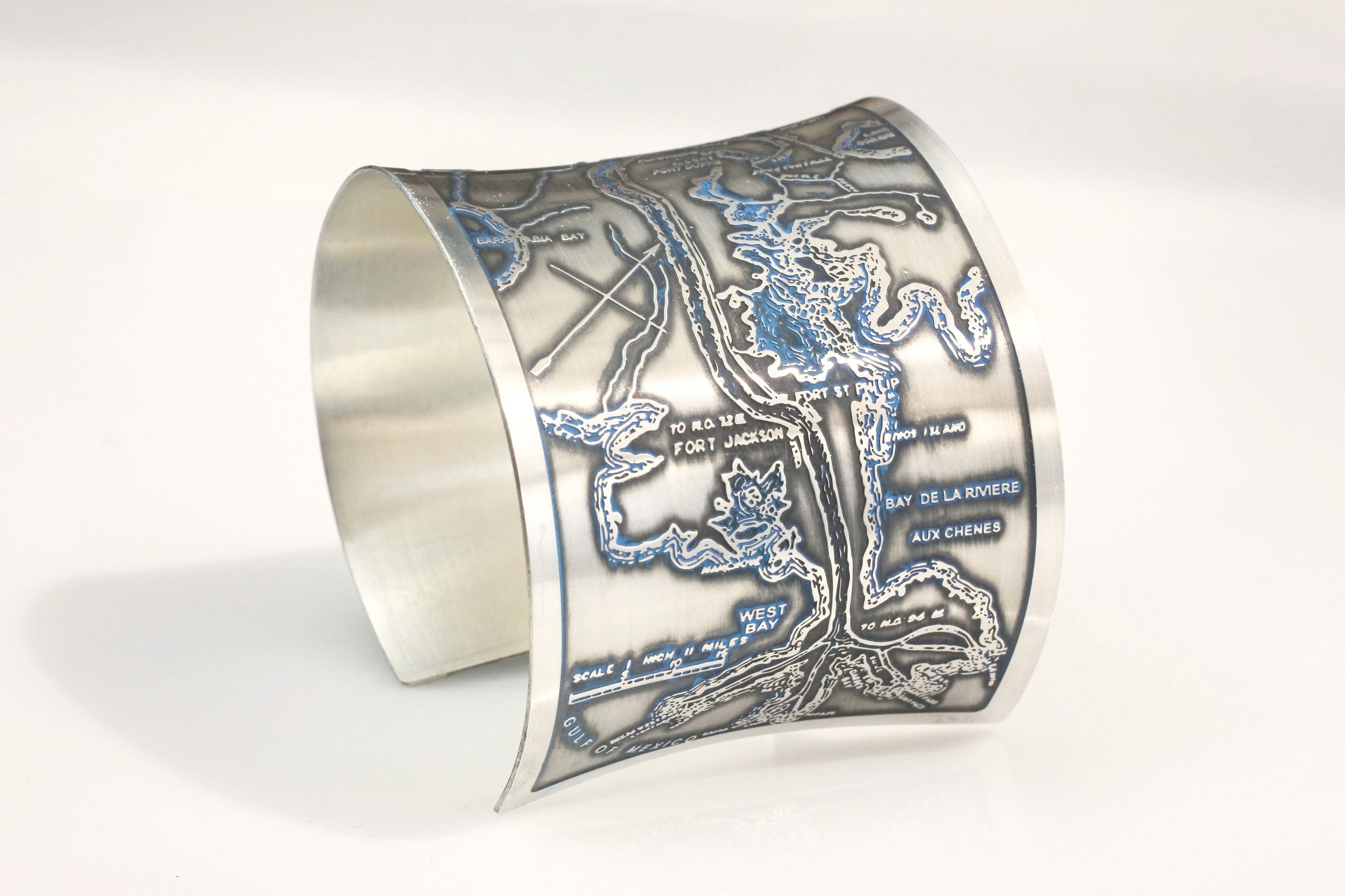
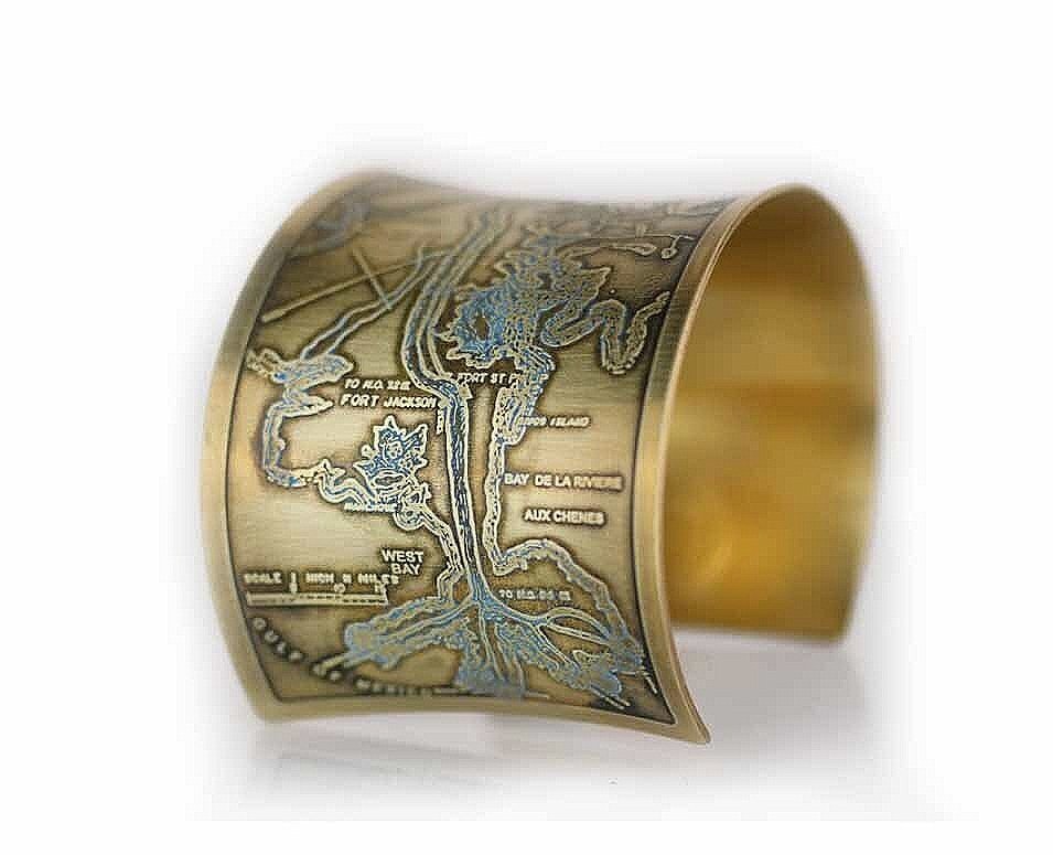
Lake Pontchartrain West End Cuff Bracelet
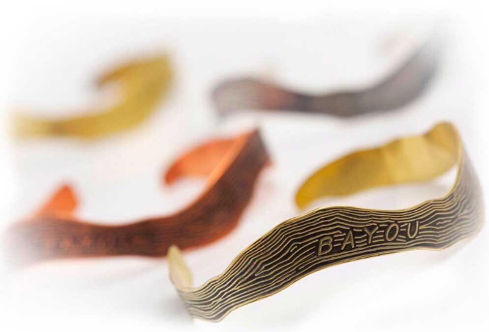
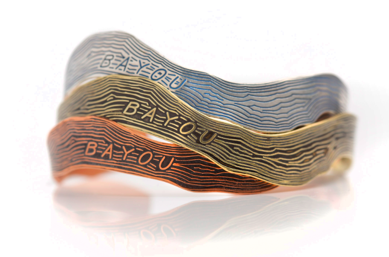
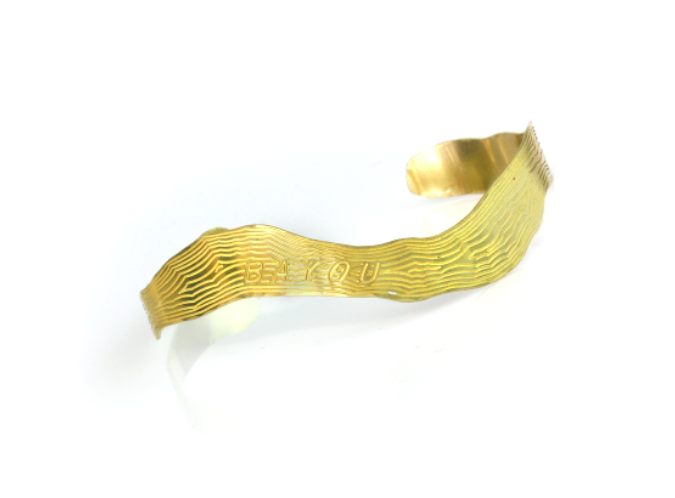
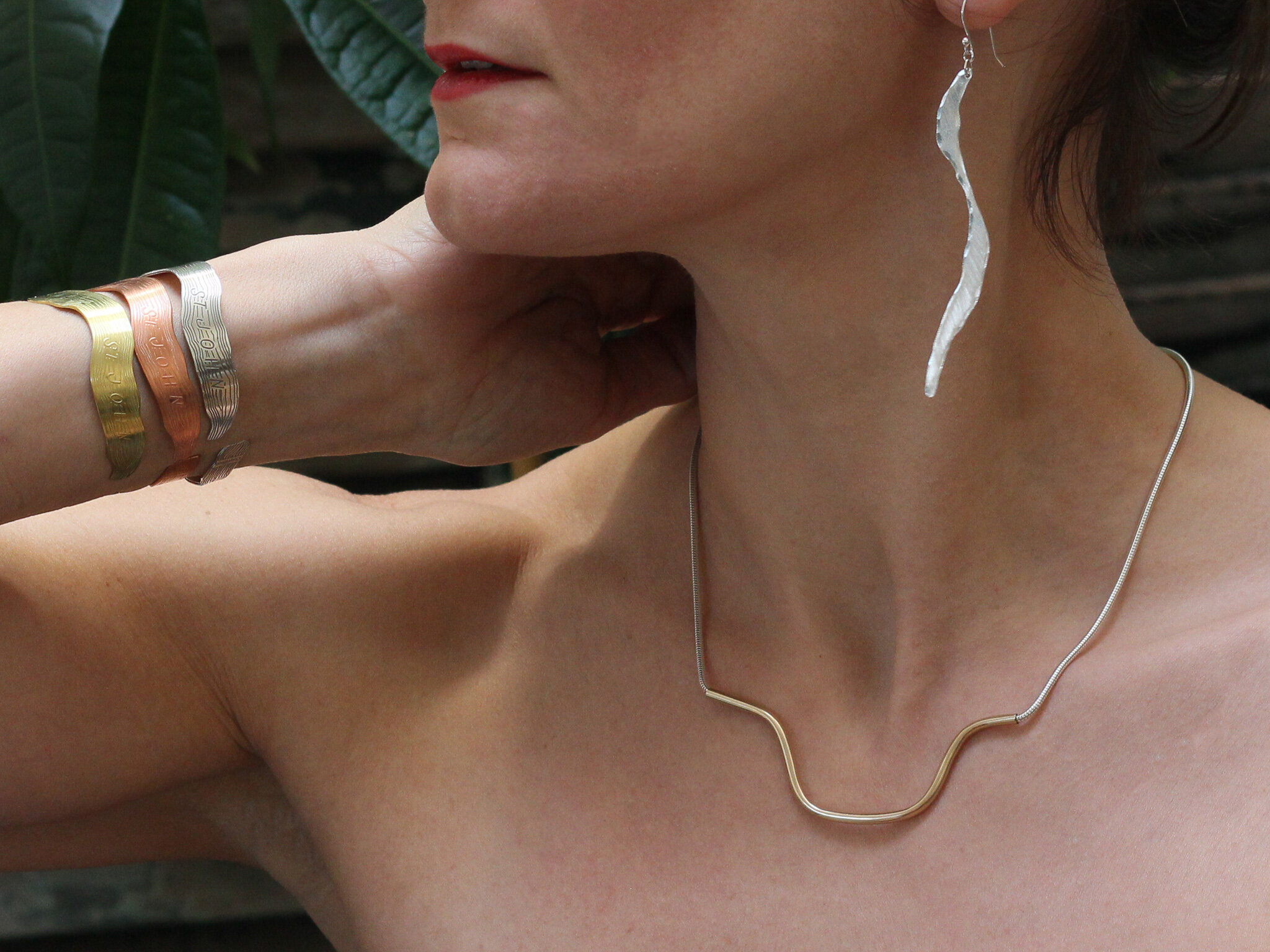
The limited-edition Lake Pontchartrain Cuff Bracelet is etched from an early 1900s map culled from the archives featuring the Spanish Fort and West End. The Lakefront was considered the “Coney Island of the South” at that time complete with an amusement park, theatres, cabarets, and hotels. The original map used to design the piece is shown.
Material -
Brass or
Copper
Dimensions -
2.5 x 6 inches (adjustable)
A little more history:
Lake Pontchartrain is a brackish estuary located in southeastern Louisiana - it is not a true lake but an estuary connected to the Gulf of Mexico via the Rigolets strait and Chef Menteur Pass into Lake Borgne, another large lagoon.
The lake was created 2,600 to 4,000 years ago as the evolving Mississippi River Delta formed its southern and eastern shorelines with alluvial deposits. Its Native American name was Okwata ("Wide Water").
In 1699, French explorer Pierre Le Moyne d'Iberville renamed it Pontchartrain after Louis Phélypeaux, Comte de Pontchartrain.


